
Picture activities · Read the map after the puzzle
Use a Map Jigsaw for a Geography Practice Session
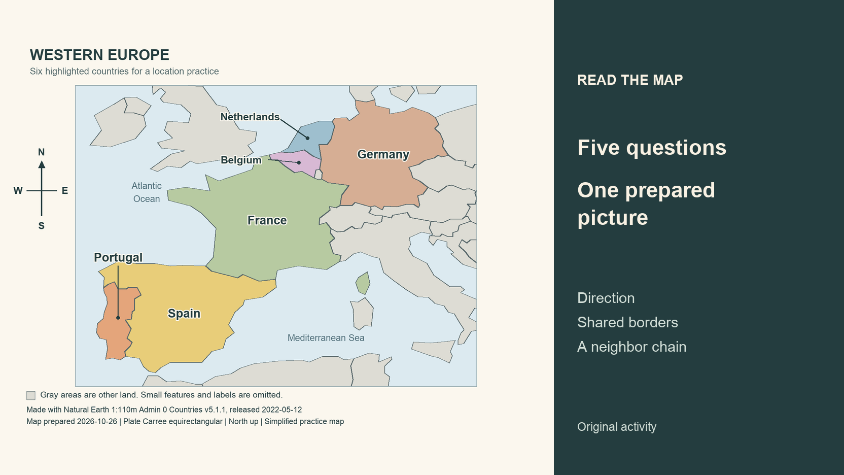
Quick summary
After assembling a map, keep the picture open and answer a few location questions. Point to a shared border, describe a direction and trace a chain of neighboring countries. Each answer should have something visible in the map to support it.
For readers who want to learn geography with jigsaw puzzles, we prepared one Western Europe image and five questions below. The map uses Natural Earth data, with its version, date and projection recorded. Download the picture and use it in the photo puzzle tool without installing mapping software.
Key takeaways
- 01Use the supplied map and keep its source information.
- 02Read the north arrow and follow labels to their locations.
- 03Check every answer against the original image.
Choose a map with a known date and source
Our map highlights Portugal, Spain, France, Germany, Belgium and the Netherlands. Nearby land is gray. Smaller features and many labels are omitted, keeping the exercise focused on six names.
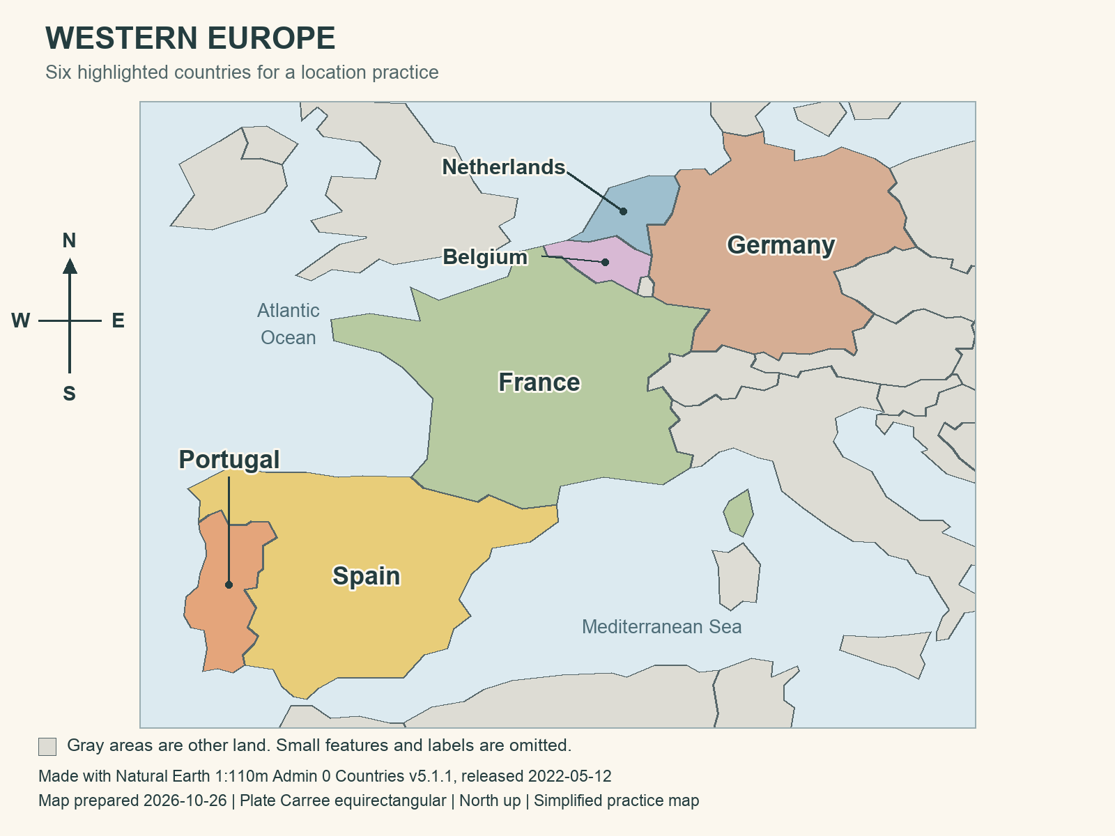
Download the prepared map for your photo puzzle.
Natural Earth makes its map data public domain. We checked that policy and used a fixed version of the outlines. The preparation date tells you when we made this picture. The dataset date identifies the source snapshot.
View the Natural Earth country dataset description.
The map uses Plate Carree, with longitude and latitude drawn as evenly spaced horizontal and vertical coordinates. North points up. This flat projection changes shapes and relative areas, so the questions concern broad direction and shared boundaries. Avoid measuring journey distances from the picture or treating it as a comprehensive current boundary reference.
Prepare five location questions
Keep a blank record beside the board. Read the questions once and leave the answers farther down this page until you want to check them. Every question uses information visible in the supplied picture.
- 1. Is Portugal west or east of most of Spain on this map?
- 2. Is the Netherlands north or south of Belgium?
- 3. Do France and Germany share a land border?
- 4. Which three highlighted countries share a land border with Belgium?
- 5. Using only highlighted countries, give the shortest land-neighbor chain from Portugal to Germany and count the crossings.
For this activity, a neighbor shares a land border. A country across the sea does not qualify. The word highlighted matters in question four. Gray areas still represent other land, and an unlabelled neighbor has not disappeared just because this exercise leaves its name out.
Download the one-page question and observation sheet.
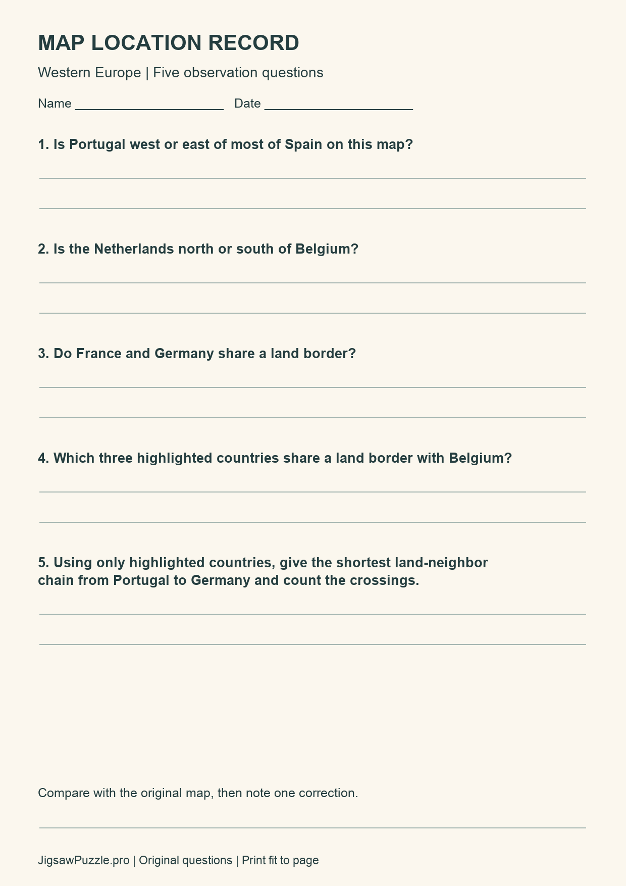
Write a short answer and the evidence you followed. Note the compass for direction or describe the shared line for a border. Put any correction beside your first answer.
Rebuild the image without expecting country-shaped pieces
Save the supplied PNG, open the photo puzzle tool and select that file. Choose Easy for 12 pieces or Medium for 24 if those counts suit your session. Hard has 48 and Expert has 96. The prepared picture already includes its labels and compass, so no map editing is required.
Open the photo puzzle maker and choose the downloaded map.
Use the photo puzzle guide if you need help with the upload steps.
The site cuts a rectangular grid with tabs and blanks. Those cuts cross country outlines and names. A piece containing part of Belgium can also contain France or the Netherlands. Match the printed image across a join instead of expecting each loose piece to represent one country.
Keep the reference picture available when you need to inspect a label or coastline. Portugal, Belgium and the Netherlands use leader lines because their narrow or small areas leave little room for text. Follow each line to its endpoint before deciding which colored area the name identifies.
Open the original download when a label is too small in the reference overlay. Reading the names is part of this exercise, and you can use the reference whenever you need it.
In Chrome, this PNG opened as a 12-piece board. We moved one piece and opened the complete reference. That was a control check, with the board left unfinished. The five answers were checked against the original map and its source geometry.
Check answers against the original map
After your board is assembled, open the original image and work through the five questions. If you stop early, you can still use the original for a map-reading session. Mark that you used it, so your note describes what you actually did.
| Question | Answer and map evidence |
|---|---|
| 1 | West. Portugal occupies the western strip beside Spain. |
| 2 | North. Follow the north arrow upward from Belgium. |
| 3 | Yes. Their outlines meet along a shared segment. |
| 4 | France, Germany and the Netherlands. Other land is gray, so this is not a list of all Belgium’s neighbors. |
| 5 | Portugal, Spain, France, Germany. The chain crosses three international land borders. |
We checked the border answers against shared line segments in the source polygons. For the route question, we checked all neighbor links among the six highlighted countries. Portugal can enter that set only through Spain, followed by France on the shortest chain to Germany.
Count transitions along that chain. Four country names create three border crossings. This is an adjacency exercise. The map supplies no roads, travel times or crossing arrangements, and the chain is not a proposed driving itinerary.
A wrong answer gives you a specific place to inspect again. If you named an unlabelled gray area, return to the question’s highlighted-country limit. If you reversed a direction, locate the north arrow and then look at the two areas together.
Keep one observation from the session
Write one relationship you checked and one detail you corrected. You could also mark an answer uncertain and leave it for a later map with more detail. Small-scale outlines cannot settle every local border question.
This activity is for adults and readers aged 13 or older. Readers under 18 should follow the site’s parent or guardian requirements. We have not measured a learning gain or memory improvement from completing these questions.
Conclusion
Keep the original map with your answer sheet. If you try another region later, change the questions to match the labels and relationships that the new picture actually shows.
Sources and further reading
Frequently asked questions
Next move
Make your map puzzle
Use the prepared image or review the photo upload steps.